hamlet · Magnesia regional unit
Ntamouchari
Ntamouchari is a hamlet in the municipality of Zagora-Mouresi, in the Magnesia regional unit of Thessaly, Greece, at an elevation of 35 metres and 21 km in a straight line from Volos. At the 2011 census it had 33 inhabitants.

At a glance
- Type
- hamlet
- Regional unit
- Magnesia
- Municipality
- Zagora-Mouresi
- Elevation
- 35 m
- Population
- 33 (2011)
- Postcode
- 37012
- Distance
- 21 km from Volos
Population in the census
Between 1991 and 2011 the population grew by 43%.
23
27
33
From Wikipedia
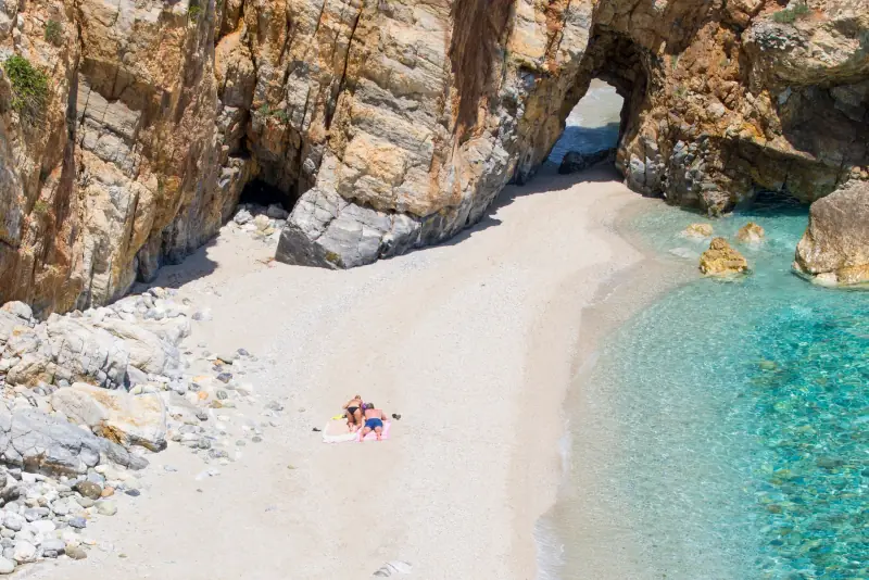
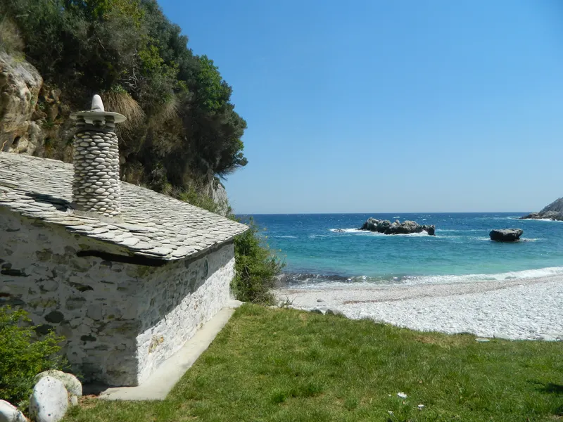
Damouchari, also written Damouhari, is a seaside village in Pelion in the region of Thessaly, Greece.
Stories from the area
Frequently asked questions
- Where is Ntamouchari?
- Ntamouchari is in the municipality of Zagora-Mouresi, Magnesia regional unit, in Thessaly, central Greece.
- What is the population of Ntamouchari?
- At the 2011 census Ntamouchari had 33 inhabitants. Between 1991 and 2011 the population grew by 43%.
- What is the elevation of Ntamouchari?
- Ntamouchari lies at about 35 metres above sea level.
- How far is Ntamouchari from Volos?
- About 21 km in a straight line. The distance by road is longer.
- Which villages are near Ntamouchari?
- The nearest are Mouresi (1.4 km), Agios Ioannis Mouresiou (1.5 km), Agios Ioannis Agiou Dimitriou (1.8 km), Tsagkarada (2.3 km).
Are you from here?
Send us the story of the village, old photographs, the village feast, a craftsman or a recipe. We will prepare it with you and it will appear on this page.