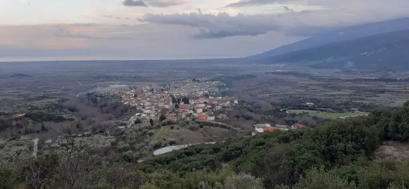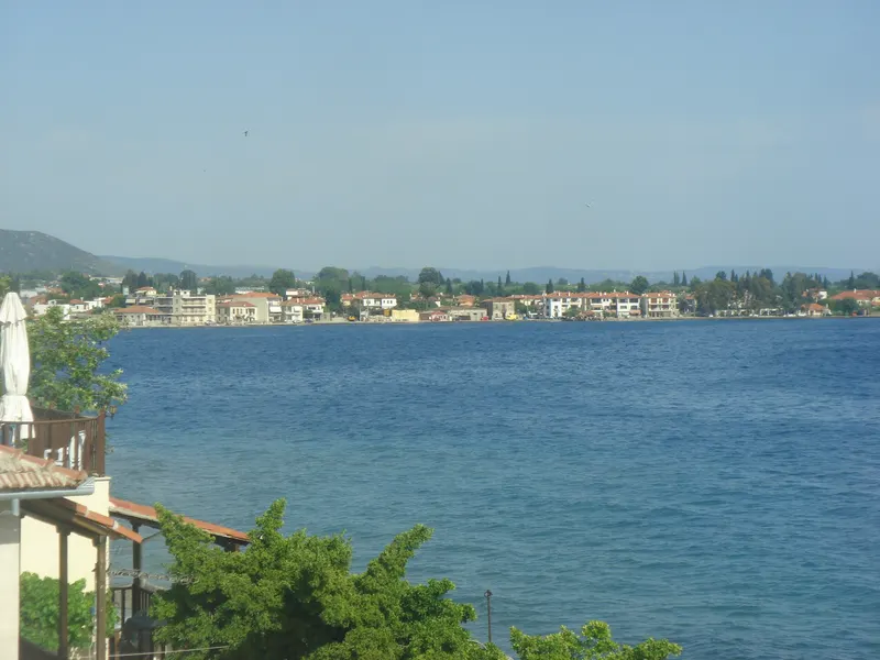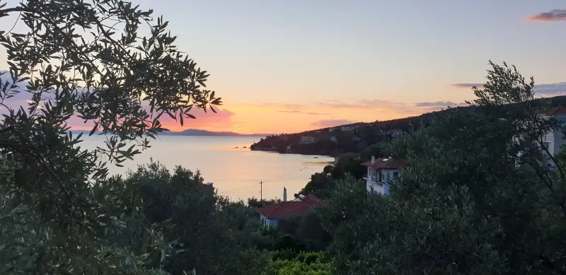
Tsagkarada does not have one centre. It has four. The village spreads across the eastern slope of Pelion in four parishes, Agia Paraskevi, Agioi Taxiarches, Agia Kyriaki and Agios Stefanos, with dense forest between them. Walking from one to the next, you cannot tell where the village ends and the mountain begins.
The plane tree
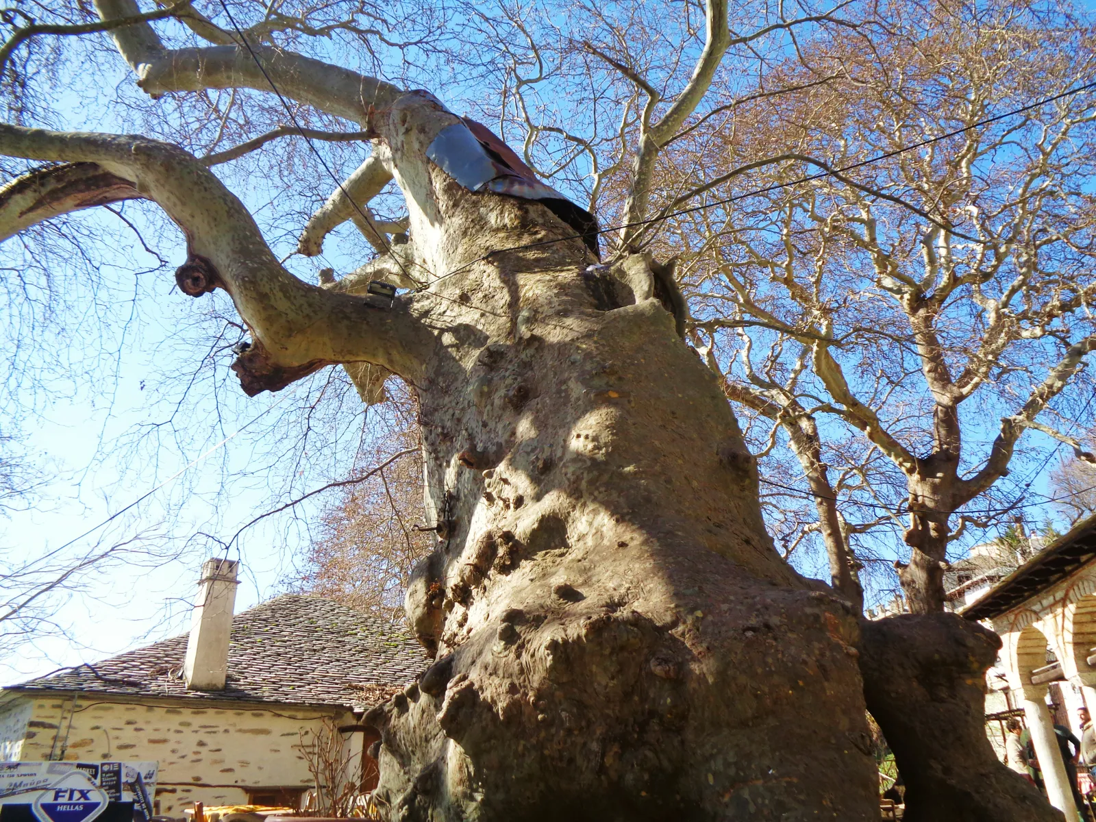
In the square of Agia Paraskevi stands the plane tree that made Tsagkarada famous. Its trunk is so broad that it takes several people holding hands to put their arms round it. Tradition says it is about a thousand years old, something no one can prove exactly, but it doesn't need proving. When you sit in the coffee house beneath it, you understand why Pelion squares were always built around a plane tree. It is the shade, the water of the fountain beside it, and the feeling that something here has stayed the same.
Chestnuts and cobbled paths
Tsagkarada is built high above the Aegean, surrounded by forests of chestnut, plane and beech. Autumn is chestnut season, and many houses still have their own trees. The old cobbled paths, the stone tracks that linked the villages before the road came, are still walkable and waymarked in many places.
The road to Mylopotamos
From Tsagkarada a road drops down to Mylopotamos, one of the best-known beaches of eastern Pelion, with the rock that splits its two coves. The drive is a few kilometres of bends, with the sea in view all the way down. In September the water is still warm and there are few people.
A word on eastern Pelion
Eastern Pelion, from Zagora to Tsagkarada, is the side of the mountain that faces the Aegean. It is wetter, greener and steeper than the western side, which faces the Pagasetic Gulf. For centuries the villages here lived from the forests, chestnuts, apples and trade by sea.
Practical notes
From Volos, Tsagkarada is about an hour and a half by road, with many bends, so don't rush. Leave the car at Agia Paraskevi and walk. If you want to go down to the sea, Mylopotamos is the easiest choice.